 These aren’t pretty pictures. They’re not meant to be. I took them yesterday during a trip to photograph the Saugerties Lighthouse, after which I drove to Highland and walked the Walkway Over the Hudson.
As I was driving from central Saugerties toward the trailhead for the lighthouse, I became dimly aware of what seemed to be brown water below and parallel to the road. Later, as I drove over a bridge that had a sign identifying this water, I learned, to my shock, that this brown water was the Esopus Creek. The Esopus Creek! — usually a picturesque stream, sporting ground for many who enjoy the sport of tubing, now a muddy brown assailant that has been the subject of many an official New York State Flooding Alert in recent days, inundated the pretty, historic village of Phoenicia, and wreaked damage elsewhere in Ulster County, one of three New York counties hardest-hit by Irene.
Stopping on the Thruway north at Plattekill, I made my usual purchase from the Grey Mouse Farm stand there and asked them how they fared after the storm. Not great, they said, but they do the best they can. Grey Mouse Farm is located off Route 32 near Saugerties. More heroic people carrying on after this disaster.
While photographing Saugerties Lighthouse I met and spoke with the lighthouse keeper. They now have their power back but the half-mile trail leading to the lighthouse is a disaster area, as you can see from this photo. The wooden plank boardwalks are buckled and covered with trash that floated in from the flooded river. He asked me to get the word out: If anyone lives nearby and is willing to bring some trash bags and help clear the debris, your help is urgently needed and he would be most grateful. And please–wear waterproof boots.
 One of the fellow hikers I spoke with had been out the previous day to help at Margaretville, that beautiful Western Catskill town where I recently made some vintage images of the Main Street stores. When I asked him how it was there he just shook his head: All gone, it’s completely gone, there is nothing. They’re waiting for FEMA to come in and assess the damage. My memory is haunted by the friendly Irish face of the nice man who had recently moved into the area with his wife and children to start up the Bed and Bath Shoppe, where we bought some lovely towels and things. Down the road, a shop where a woman sold me a hand-knitted pair of special gloves to wear when I photograph in the winter: the tops unbutton to free my fingers to work the camera controls. The only supermarket in town, where on a rainy Sunday we bought a few things for a pre-dinner beer party in one of our rooms at the nearby Hanah Mountain Resort–“Half of the supermarket is completely washed away,” my fellow hiker told me.
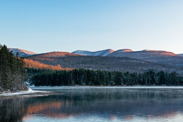
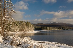
These pictures were taken from the Walkway over the Hudson, the newest of New York’s State Parks. At 1.28 miles long, it offers a hefty walk as well as memorable views of the Hudson. Right now it also offers views of the results of Hurricane Irene: Here you see the damage and the garbage piled up on the shore near the village of Highland, and the other photo shows the “Lordly Hudson,” now brown and with lots of this green debris floating in it.
If you wish to help but can neither grab your tools or trash bags and offer physical help nor live close enough to donate household items and food at one of the many collection stations, here is a website with suggestions for sending monetary donations. For the Western Catskills, here is another site with updates on the situation and places to donate.
 Stopped at a traffic light on my way out of Saugerties yesterday I was glad to note that the Saugerties Reformed Church was holding a worship service today for the victims of 9/11 and of Hurricane Irene. While no one will ever forget the pain and suffering inflicted literally out of the clear blue sky on that infamous day ten years ago, please let’s remember that our neighbors in rural New York who struggle to earn a living by serving people through their farms and their shops and motels also need our prayers and concern and our help.


 ————–
————–


